
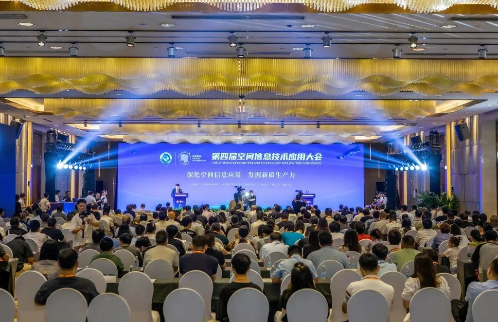
▲ The opening ceremony and main forum
From 8 to 9 September, the 4th Spatial Information Technology Applications Conference, under the theme “Deepening spatial information applications and discovering new quality productive forces”, was held in Changsha. Huantian Wisdom was invited to attend as a representative enterprise of Southwest China and a standing council member of the China Association of Remote Sensing Applications.
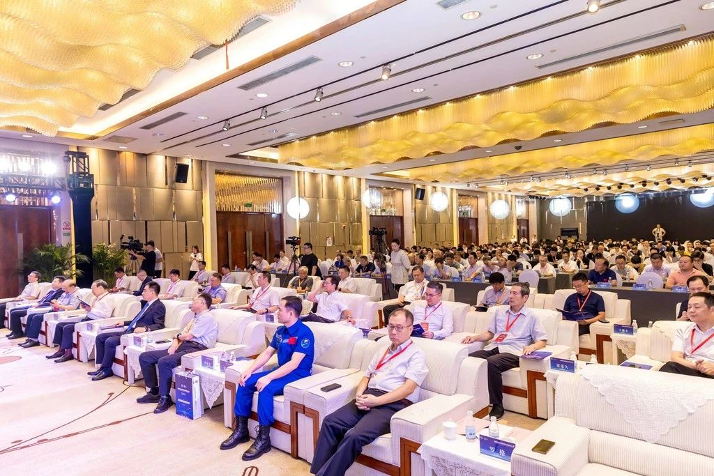
▲ The opening ceremony and main forum
Li Deren, academician of the Chinese Academy of Engineering and of the International Academy of Sciences for Europe and Asia and a recipient of the State Supreme Science and Technology Award; Tong Qingxi, academician of the Chinese Academy of Sciences and of the International Academy of Sciences for Europe and Asia; Li Jiancheng, academician of the Chinese Academy of Engineering; and well-known institutes, centres and enterprises in remote-sensing information in China, together with more than a hundred leading Chinese experts and entrepreneurs in spatial information technology, took part in the discussions. More than 1,000 people attended the conference.
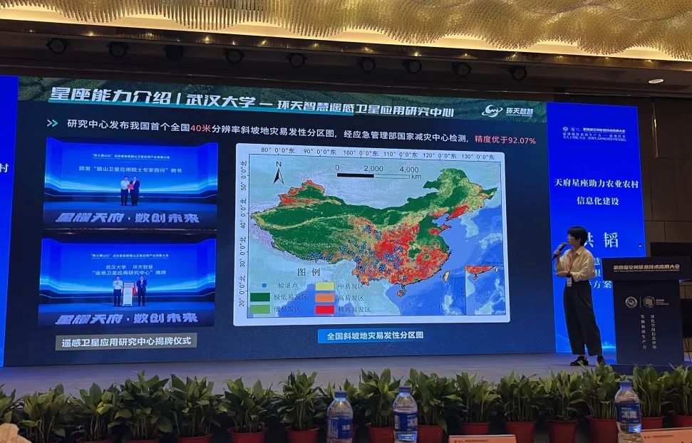
▲ Hong Tao, solutions director at Huantian Wisdom, delivering a presentation
At the sub-forum on remote sensing empowering new quality productive forces, Huantian Wisdom, under the theme “The Tianfu Constellation supporting informatisation in agriculture and rural areas”, gave a detailed account of how the company, with the Tianfu Constellation as its data foundation, has built the Tianfu Granary Digital Platform as an agricultural operations and management system to support the granary. It focused on the company’s technical applications and latest practical results in land management, agricultural insurance and socialised services, with the aim of providing comprehensive support and solutions for the continuing development of the agricultural industry. The report was rich and detailed, and won consistent recognition and praise from those present.
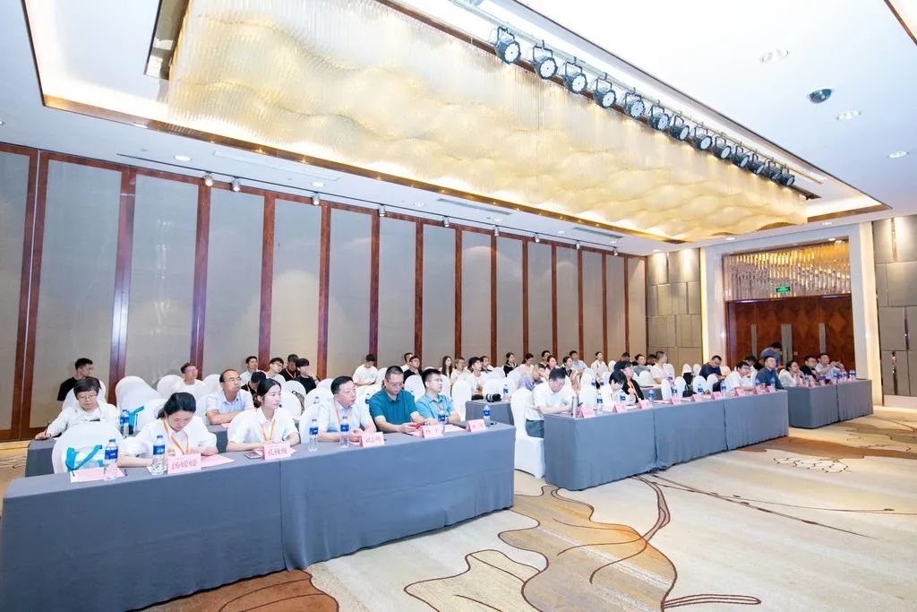
▲ The sub-forum on remote sensing empowering new quality productive forces
Universities including Hunan University and Huazhong University of Science and Technology, institutes and centres including the Beijing Institute of Remote Sensing Information, the Second Surveying and Mapping Institute of Hunan Province and the China Centre for Resources Satellite Data and Application, and industry enterprises including 21st Century and Vision Future took part in the sub-forum. They shared in detail the application fields and scenarios of remote-sensing technology, key techniques for extracting information from remote-sensing images, and the building of real-scene 3D data models, presenting to the industry the frontier technical paths, latest innovations, directions of application and commercial challenges of the related industries.
The conference further broadened Huantian Wisdom’s outlook and strengthened the company’s determination to continue investing in innovation and development in satellite remote-sensing technology. The company will deepen cooperation with partners across the industrial-chain ecosystem, bring together frontier technology and rich data resources, keep raising the value of its data products with user needs at the centre, and contribute an enterprise’s strength to the development of the digital economy.
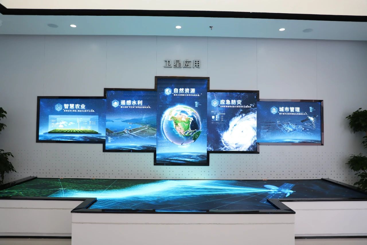
▲ Display of Huantian Wisdom’s satellite application platform
Based on scientific research and innovation, and around the building of intelligent scenarios, Huantian Wisdom has formed a number of overall solutions for farmland water conservancy, forest protection, emergency relief, transport and park construction. While pursuing independent innovation, it also attaches great importance to industry–university–research cooperation, and draws on the research strength of leading enterprises and universities to explore industrial application value in depth. It has jointly established an IoT sensing laboratory with Hikvision, a Satellite Remote-Sensing Application Research Centre with Wuhan University, and a Joint Laboratory of Spatial Intelligent Sensing and Large-Model Applications with Nanjing University of Aeronautics and Astronautics. Together with 11 well-known enterprises in the industry, including China Siwei, Chang Guang Satellite, 21st Century and Zhuhai Orbita Aerospace, it has formed a commercial satellite alliance to jointly build and share 147 satellite resources.